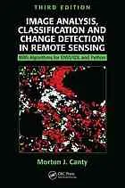
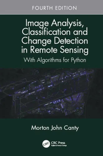
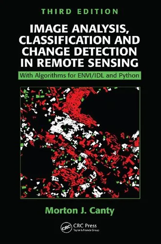
Techniques for Image Processing and Classifications in Remote Sensing
4.5
Reviews from our users

You Can Ask your questions from this book's AI after Login
Each download or ask from book AI costs 2 points. To earn more free points, please visit the Points Guide Page and complete some valuable actions.Related Refrences:
Introduction to "Techniques for Image Processing and Classifications in Remote Sensing"
The field of remote sensing has revolutionized the way we observe and analyze our world, enabling scientists, researchers, and decision-makers to interpret complex environmental and geographical data. "Techniques for Image Processing and Classifications in Remote Sensing" provides a comprehensive guide to understanding and applying advanced methodologies in this domain. Written with both aspiring and experienced professionals in mind, this book bridges the gap between theoretical foundations and practical applications, making it an essential resource in the rapidly evolving field of remote sensing.
By exploring key concepts such as image processing, spectral analysis, classification methods, and their integration with modern computational tools, the book lays a strong foundation for readers to master the principles and practices of extracting valuable insights from remote sensing data. Whether you're a student, scientist, or industry professional, the structured guidance provided in this book can help you harness the power of remote sensing for solving real-world challenges in areas such as geosciences, agriculture, urban planning, and environmental monitoring.
Detailed Summary of the Book
"Techniques for Image Processing and Classifications in Remote Sensing" is meticulously designed to take readers through the intricacies of remote sensing, covering the subject matter from the ground up. It begins with an introduction to the fundamentals of electromagnetic radiation and the principles of remote sensing. Moving on, the book delves into image preprocessing techniques for correcting distortions and enhancing data quality, ensuring that the images you work with are both accurate and reliable for analysis.
The core of the book tackles advanced image processing techniques, including spatial transformations, radiometric corrections, and spectral unmixing. The text places significant emphasis on classification algorithms, exploring supervised, unsupervised, and hybrid methodologies. This section is particularly beneficial for professionals looking to categorize data effectively using state-of-the-art tools.
The latter chapters of the book touch upon emerging topics such as machine learning-based classification in remote sensing, multispectral and hyperspectral imaging, and the integration of remote sensing data with GIS systems. Additionally, real-world case studies and examples are interwoven into the text to help readers connect theoretical concepts with practical scenarios. By the end of the book, readers will have a robust understanding of how to transform raw image data into actionable insights.
Key Takeaways
- Comprehensive understanding of remote sensing principles and applications.
- Detailed knowledge of preprocessing techniques for improving image quality.
- An in-depth look into a wide range of classification methodologies, including supervised, unsupervised, and machine learning approaches.
- Practical guidance on integrating remote sensing data with GIS and other analytical tools.
- Insights into emerging technologies such as hyperspectral imaging and advanced image fusion techniques.
- Real-world applications and case studies to bridge the gap between theory and practice.
Famous Quotes from the Book
"The success of a remote sensing project doesn't merely depend on the quality of the data—it hinges on the ability to skillfully extract meaningful information."
"Image classification is not a single-step process, but a journey of iterative refinement informed by data, algorithms, and domain knowledge."
"Remote sensing is the art of seeing the unseen, transforming data from distant sensors into actionable insights for a better world."
Why This Book Matters
Remote sensing has become an indispensable tool in an increasingly data-driven world. From monitoring climate change to mapping urban development, its applications are endless and continually expanding. However, unlocking the full potential of remote sensing requires a solid understanding of image processing and classification techniques.
This book fills a critical gap in the literature by providing a practical yet comprehensive guide to these essential methodologies. Unlike many theoretical texts, it balances foundational principles with actionable insights, ensuring readers can immediately apply the concepts they learn. Moreover, with a growing demand for professionals skilled in remote sensing techniques, this book serves as a stepping stone for anyone looking to make meaningful contributions in the field.
As industries increasingly rely on remote sensing for decision-making, this book empowers readers to leverage technology for solving some of the world's most pressing challenges, from natural resource management to disaster response. It is not just a book—it is a practical toolkit for the modern data analyst and scientist.
Free Direct Download
You Can Download this book after Login
Accessing books through legal platforms and public libraries not only supports the rights of authors and publishers but also contributes to the sustainability of reading culture. Before downloading, please take a moment to consider these options.
Find this book on other platforms:
WorldCat helps you find books in libraries worldwide.
See ratings, reviews, and discussions on Goodreads.
Find and buy rare or used books on AbeBooks.
1440
بازدید4.5
امتیاز0
نظر98%
رضایتReviews:
4.5
Based on 0 users review
Questions & Answers
Ask questions about this book or help others by answering
No questions yet. Be the first to ask!

