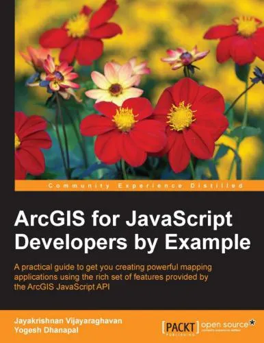
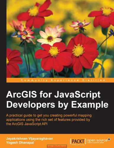
ArcGIS for JavaScript developers by Example
4.5
Reviews from our users

You Can Ask your questions from this book's AI after Login
Each download or ask from book AI costs 2 points. To earn more free points, please visit the Points Guide Page and complete some valuable actions.Related Refrences:
Introduction to "ArcGIS for JavaScript Developers by Example"
"ArcGIS for JavaScript Developers by Example" is a comprehensive guide designed for modern developers looking to harness the power of geographic information system (GIS) technology through the ArcGIS API for JavaScript. Whether you are a beginner eager to grasp the basics or an experienced developer looking to master advanced geospatial techniques, this book is structured to serve developers across all levels. Packed with practical examples, hands-on projects, and a rich exploration of GIS fundamentals, the book equips readers with both technical know-how and a deeper understanding of geospatial analytics.
By providing real-world examples and step-by-step exercises, this book ensures that readers not only comprehend the theoretical aspects of the ArcGIS API but also gain confidence in incorporating these elements into their projects. It introduces cutting-edge features of the JavaScript API, including 3D mapping, geocoding, spatial analysis, and visualization, thereby expanding your skill set and enabling the creation of fully interactive web applications.
This book is especially valuable in today’s data-driven world, where location intelligence stands as a cornerstone for business, science, government, and tech organizations. With a focus on learning by doing, "ArcGIS for JavaScript Developers by Example" aims to foster creativity and problem-solving skills, empowering readers to craft their own GIS-enabled web apps to tackle complex challenges and visualize data in innovative ways.
Detailed Summary of the Book
This book is built around the philosophy of learning through examples, ensuring a seamless balance between theory and practice. It begins with an introduction to GIS and its applications, explaining the vital role GIS plays in simplifying complex datasets and revealing actionable insights. Readers are then guided through the essentials of the ArcGIS API for JavaScript, laying a solid technical foundation.
The core chapters delve into building applications that showcase interactive 2D and 3D mapping, geocoding, routing, and spatial analysis. The book further explores advanced concepts such as real-time data visualization, working with external datasets, and customizing widgets to enhance the user experience. Each chapter is designed with approachable, standalone projects that gradually build your expertise as you work through them.
By the end of the book, you will have mastered the art of integrating GIS into websites, visualizing large spatial datasets, and developing robust applications that make full use of the ArcGIS API’s capabilities. Whether your projects involve urban planning maps, dashboards for disaster response, or custom routing tools, this book equips you with the skills to bring your ideas to life.
Key Takeaways
- Understand the fundamentals of Geographic Information Systems (GIS) and their real-world applications.
- Master the ArcGIS API for JavaScript through hands-on projects and clear examples.
- Build interactive 2D and 3D web applications with live data visualization.
- Leverage geocoding and spatial analysis for building smarter applications.
- Customize widgets, basemaps, and user interfaces to create polished, user-centric designs.
- Work with real-time data and implement robust GIS functionalities in your applications.
Famous Quotes from the Book
"GIS isn’t just about maps. It’s about understanding relationships, trends, and patterns that were once invisible."
"The beauty of the ArcGIS API lies in its ability to take complex geospatial data and transform it into interactive, usable insights."
Why This Book Matters
In an era where data drives decision-making, spatial data provides a crucial layer of intelligence. This book stands out as a vital resource for developers seeking to leverage GIS and location-based analytics in their applications. GIS is no longer confined to niche industries—it has become a key enabler for a wide array of fields, from urban planning and environmental monitoring to retail and logistics.
By mastering the ArcGIS API for JavaScript, you gain the ability to unlock insights that shape more informed decisions. The book’s practical approach ensures that developers not only acquire a theoretical understanding but also the practical skills required to implement real-world GIS solutions. This positions "ArcGIS for JavaScript Developers by Example" as an invaluable guide for anyone looking to stay competitive in a fast-evolving technological landscape.
Whether you are building tools to map out disaster-affected areas, designing city transportation networks, or optimizing retail store locations, the skills imparted by this book will empower you to meet industry demands with creativity and confidence.
Free Direct Download
You Can Download this book after Login
Accessing books through legal platforms and public libraries not only supports the rights of authors and publishers but also contributes to the sustainability of reading culture. Before downloading, please take a moment to consider these options.
Find this book on other platforms:
WorldCat helps you find books in libraries worldwide.
See ratings, reviews, and discussions on Goodreads.
Find and buy rare or used books on AbeBooks.
1163
بازدید4.5
امتیاز0
نظر98%
رضایتReviews:
4.5
Based on 0 users review
Questions & Answers
Ask questions about this book or help others by answering
No questions yet. Be the first to ask!


